B3 Insight releases produced water dataset for Wyoming
(WO) – B3 Insight has released a comprehensive water data offering for Wyoming, the company announced on Monday. This unique dataset is the first of its kind, and integrates data for injection wells, production sites, water rights and land parcels in addition to many water management layers and workflow tools.
Available as part of B3’s OilfieldH2O Platform, the Wyoming dataset complements existing datasets for Texas, New Mexico, North Dakota and Oklahoma.
“This newly-released dataset for Wyoming provides our OilfieldH2O Platform users with comprehensive and accurate information that chronicles the movement of water within the state,” Kelly Bennett, CEO of B3 Insight, said. “It is the first of its kind, and we expect that operators and midstream service providers will benefit immediately from the rich data when planning frac operations or water transportation.”
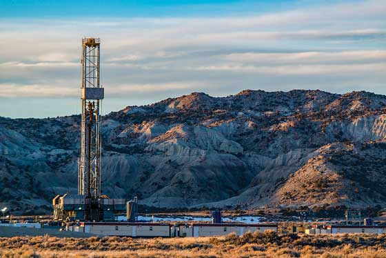
Wyoming is home to over 8,000 injection wells used for enhanced oil recovery and saltwater disposal (SWD), which play a significant role in oilfield water management. With higher oil prices driving new well development, more produced water needs to be managed. Operators are permitting new SWDs, and by using B3’s OilfieldH2O Platform, these wells can be tracked for location and monitored for injection volume and pressure.
The Wyoming dataset also includes data on every production site or well that has ever produced water. Production site data is valuable for operators when sourcing reuse water for frac and completions, and for midstream companies that transport and dispose of excess volumes. This data is updated automatically in the platform.
The Wyoming dataset includes 250,000 water rights for both surface and groundwater, including rights for non-oilfield applications; data for over 8,000 injection wells, including all SWDs; 360,000 land parcels for water management and logistics planning; 70,000 production sites including any site or well that has ever produced water; subsurface layers including depth and thickness to increase understanding of disposal formations.
OilfieldH2O platform users can access the Wyoming dataset through an interactive web-based, geo-spatial interface with exceptional visualization, reporting, and export capabilities.